Why in News ?
- In early October 2025, a sudden blizzard, torrential snowfall, and lightning strikes hit Mount Everest (Tibetan side), trapping over 1,000 trekkers.
- Simultaneously, heavy rain and snowfall triggered floods and landslides in Nepal and Darjeeling, killing dozens.
- This incident has reignited focus on the escalating Himalayan disaster frequency and the urgent need for Early Warning Systems (EWS) across India’s mountain arc.
Relevance:
- GS-3 (Disaster Management): Early Warning Systems (EWS), risk reduction, and NDMA frameworks.
- GS-1 (Geography): Himalayan ecosystem fragility, glacial lake outburst floods (GLOFs), and climate impacts.
- GS-3 (Science & Tech): AI and satellite-based disaster prediction technologies; ISRO–IMD integration.
Background: The Fragile Himalayan Ecosystem
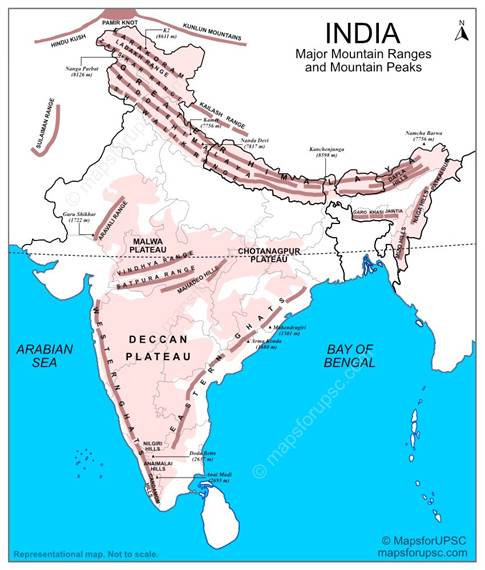
- The Himalayas, spanning 2,400 km across 13 Indian States/UTs, are among the world’s most seismically and climatically volatile mountain ranges.
- They are highly prone to glacial lake outburst floods (GLOFs), avalanches, landslides, cloudbursts, and earthquakes.
- According to the Down To Earth (2024) report:
- India experienced 687 disasters (1900–2022); 240 occurred in the Himalayas.
- Only 5 disasters (1902–1962) → 68 disasters (2013–2022) = rapid decade-on-decade rise.
- The last decade alone accounted for 44% of all national disasters.
- NASA data: 1,121 landslides occurred in the Himalayan region between 2007–2017.
Key Climatic Trends
- The Himalayas are warming faster than the global average — between 0.15°C and 0.60°C per decade (Springer Nature, 2023).
- Rising temperatures accelerate glacial melt, increasing GLOF risk, while also triggering erratic precipitation and slope instability.
- A 2024 Climate Change journal study warns that if global warming hits +3°C, 90% of the Himalayas could face prolonged droughts lasting over a year.
The Disaster Escalation Pattern
| Period | Number of Disasters | Notable Trend |
| 1902–1962 | 5 | Minimal anthropogenic disturbance |
| 1963–1972 | 11 | Start of hydropower & road expansion |
| 1973–1982 | 13 | Increased deforestation, settlement |
| 2013–2022 | 68 | Peak disaster frequency (44% of India’s total) |
Inference: The curve shows a nonlinear escalation, correlating with rapid development, glacier retreat, and erratic climate patterns.
Why Early Warning Systems (EWS) Matter
- Definition: EWS are data-driven tools designed to predict natural hazards, alert communities, and minimize casualties and economic loss.
- Current Status:
- Extremely limited coverage in Himalayan valleys; absence of localized, low-cost, weather-proof systems.
- Many disaster-prone valleys lack any monitoring network due to terrain, connectivity, and cost issues.
- Core Components Needed:
- Multi-source data (satellites, drones, in-situ sensors)
- AI-based data integration for predictive analytics
- Real-time transmission networks
- Trained local operators for maintenance and response
Technological & AI Applications
- AI-assisted forecasting: Converts live data from sensors and satellites into actionable warnings.
- Drones: Effective for localized monitoring, though limited in rugged, windy glacier zones.
- Satellites: Useful for remote observation, but costly and bandwidth-intensive for real-time use.
- Hybrid models: Combine AI algorithms, meteorological downscaling, and local hydrometeorological data to generate sub-kilometre precision alerts.
Example:
- Environment Ministry project (Uttarakhand & Himachal Pradesh): AI-enabled EWS giving hailstorm alerts at 100–500 m resolution, aiding apple orchard management (Vinod K. Gaur, NGRI).
International & Regional Precedents
- Swiss Alps (Blatten village): Averted a glacier-collapse disaster after local shepherds manually relayed warnings — underscores the value of community-based systems.
- China (Cirenmaco Lake, 2022): Developed an AI and unmanned-boat-based GLOF Early Warning System, creating hazard maps for flood depth, velocity, and evacuation routes.
Core Challenges in Himalayan Monitoring
- Topographical complexity: Narrow valleys, steep gradients, glacier zones limit sensor deployment.
- Connectivity gaps: Most high-altitude valleys are beyond mobile and internet range.
- High system cost: Satellite links and AI integration remain financially prohibitive for local governments.
- Institutional inertia: Disaster mitigation in the Himalayas is not prioritized in central or state planning.
- Community exclusion: Local populations often uninformed or untrained in EWS operation and response.
Expert Perspectives
- Dr. Argha Banerjee (IISER Pune):
- “We need EWS in every valley. The lack of an indigenous, low-cost, weather-proof, and easy-to-operate system is the key bottleneck.”
- Dr. Vinod Kumar Gaur (Ex-NGRI):
- “AI-aided, locally downscaled EWS can capture micro-climatic patterns; local participation is critical.”
- Global experts: Call for integrating citizen-science networks and local data collection to bridge monitoring gaps.
Ecological & Societal Impacts
- Lives & Livelihoods: Frequent floods and landslides displace thousands annually, damaging roads, farms, and hydropower infrastructure.
- Biodiversity: “Altitude squeeze” observed — musk deer, snow trout moving to higher elevations (UN Report, 2024).
- Economic Cost: Increasing repair costs to highways, dams, and rural assets undermine Himalayan development goals.
Policy Implications & Way Forward
- National Priority: Establish a National Himalayan Disaster Early Warning Network (NHDEWN) integrating multiple agencies.
- Localization: Develop low-cost, solar-powered, modular EWS kits for valley-level deployment.
- Capacity Building: Train local villagers, panchayats, and forest guards in EWS operation, maintenance, and evacuation protocols.
- Data Integration: Use ISRO’s satellite data, IMD forecasts, and AI models for real-time risk mapping.
- Transboundary Cooperation: Himalayas span India, Nepal, Bhutan, China, and Pakistan — need cross-border data-sharing protocols.
- Climate Adaptation Synergy: Align with India’s National Mission for Sustaining the Himalayan Ecosystem (NMSHE) and National Disaster Management Plan (NDMP).


