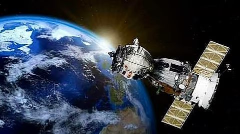
Basics: Earth Observation (EO) Satellites
- EO satellites: Capture images/data of Earth for climate, agriculture, security, urban planning.
- Analysis Ready Data (ARD): Processed satellite data, easy for direct use.
- Value-Added Services (VAS): Customized products (maps, surveillance, analytics).
Relevance : GS 3(Science and Technology)

New Initiative
- Lead consortium: Pixxel Space India (Bengaluru-based startup).
- Partners: Piersight Space, Satsure Analytics, Dhruva Space.
- Investment: ₹1,200 crore over 5 years.
- Constellation: 12 indigenous EO satellites.
- Announced by: IN-SPACe (Indian National Space Promotion and Authorisation Centre).
Applications
- Climate change monitoring.
- Disaster management (floods, cyclones, earthquakes).
- Agriculture (crop monitoring, yield prediction).
- Marine surveillance (illegal fishing, coastal security).
- National security (border vigilance, troop movements).
- Urban planning (land use, smart cities).
Significance
- Data sovereignty: Reduces reliance on foreign satellite imagery.
- Private sector maturity: First large-scale, commercially viable satellite project by Indian startups.
- Global competitiveness: Positions India as a supplier of high-quality geospatial intelligence.
- Strategic: Boosts Atmanirbhar Bharat in space and supports defence needs.
Broader Linkages
- Migration Issue: Security-heavy → highlights vulnerabilities in India’s border management and challenges of human rights in migration policy.
- Space Sector Growth: Technology-heavy → shows India’s push to become self-reliant and competitive globally.
- Common thread: Both developments reflect India’s balancing act between internal security challenges (illegal migration) and external technological rise (space leadership).


